
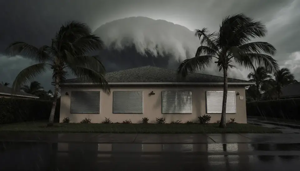
Cape Charles was laid out in 1884 by railroad and ferry interests as a planned grid of 644 equal lots beside Cherrystone Harbor. The town is surrounded by water on three sides: the Chesapeake Bay to the west, King's Creek to the north and Old Plantation Creek to the south. Its official elevation is about 3 feet, the highest point reaches only 15, and most developed land lies between 5 and 10 feet above sea level. On a peninsula that low, a strong southwest wind or a hurricane tide does not have far to go.
Calling (888) 317-9980 is free at any hour, and The Restoration Job will put you in touch with an independent restoration provider that covers Cape Charles and lower Northampton County. That provider is its own business, and you deal with it directly.
How the call works: when you call (888) 317-9980, The Restoration Job connects you with an independent restoration provider that serves Cape Charles. That provider inspects the damage, explains the scope and quotes the work. The Restoration Job doesn't perform restoration itself. Read our referral disclosure.
Low Ground Between the Bay and Two Creeks
With the Bay on one side and tidal creeks on the other two, Cape Charles can take water from more than one direction. Storm surge from the Bay reaches the beachfront and harbor first, while the creeks carry high water into the marsh edges at the north and south ends of town. Rain on top of a high tide has nowhere to drain quickly when the outfalls are underwater.
Northampton County calls Hurricane Isabel in 2003 the worst hurricane to affect the Chesapeake Bay region since 1933, with surge values of more than 8 feet. The 1933 storm itself left a steamer with 90 people aboard drifting off Cape Charles until the Coast Guard came. Those are the benchmarks; smaller nor'easters and summer thunderstorms cause far more frequent, lower-level trouble in garages, crawl spaces and first floors.
Victorian and Craftsman Houses in the Historic District
The Cape Charles Historic District covers 152 acres and 526 contributing buildings, most of them late-Victorian, Craftsman bungalow and revival-style houses from the late 1800s and early 1900s. The oldest house was built in the fall of 1883 and later moved to Mason Avenue. Old frame houses like these often sit on low brick piers or shallow crawl spaces, with original wood floors and plaster walls that respond differently to water than modern construction.
The town has a board overseeing its historic district that issues certificates of appropriateness under its design guidelines. If storm or flood damage means replacing siding, windows, porches or other exterior features, check with the town before ordering materials. Interior water damage restoration can usually proceed right away, but exterior changes in the district may need the board's sign-off.
After the Water Goes Down: A Practical Order of Work
- Stay safe first. Keep power off in any room where water reached outlets, and have submerged equipment checked by a qualified technician.
- Record everything. Photograph water lines, damaged contents and the outside of the house before cleanup starts.
- Remove water and wet materials. Bay water is salty and carries silt, so carpet, pad and insulation it touched generally need to go, and drywall is usually cut out above the waterline.
- Clean and dry the structure. Framing and subfloor are rinsed and then dried with dehumidifiers and air movers. Crawl-space insulation and vapor barriers deserve special attention.
- Verify dryness before rebuilding. Moisture meters should confirm framing is dry before walls are closed.
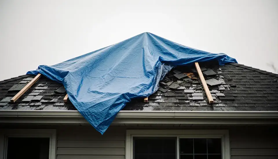
A provider offering storm damage cleanup may also handle roof tarping and board-up if wind opened the house to rain.
Getting Off the Shore: Evacuation and the Bridge-Tunnel
Lower Northampton County has one practical way out in a hurricane. The county's hurricane page says plainly that the Chesapeake Bay Bridge-Tunnel is not an evacuation route; it comes under wind restrictions as storms approach and may close to all traffic. The designated route is US 13 North. Northampton County also states it will not open shelters during a wind event such as a hurricane, directing residents to Accomack County facilities, typically Nandua Middle School in Onley. Hurricane season runs June 1 through November 30, so plan where you would go well before a storm is named.

Bay Humidity and Mold in Closed-Up Homes
Many houses in town are second homes or rentals, and Northampton County counted about a quarter of its housing units as vacant at the 2020 census. A leak in an empty house can run for days, and the warm, damp Bay air keeps wet materials from drying on their own. Mold can follow within a few days. Owners who are away should arrange for someone to check the property after storms and freezes, and consider a water sensor or automatic shutoff valve. If you return to a musty odor or visible growth, mold remediation starts with finding the moisture source.
Neighborhoods and Nearby Communities
The same line also serves nearby communities such as:
- Cheriton
- Eastville
- Exmore
- Nassawadox
- Belle Haven
- Onancock
Questions From Cape Charles Property Owners
Why does Cape Charles flood more easily than towns farther inland?
Most developed land in Cape Charles sits between 5 and 10 feet above sea level, and the town is bordered by the Chesapeake Bay, King's Creek and Old Plantation Creek. Storm tides can arrive from the Bay and up both creeks, and heavy rain drains slowly when outfalls are covered by high water. Check your address on FEMA's flood maps or the county's floodplain resources.
Do I need approval to replace storm-damaged siding or windows in the historic district?
Possibly. The Town of Cape Charles has a historic district board that considers exterior changes and issues certificates of appropriateness under its design guidelines. Emergency steps like tarping and board-up protect the house in the meantime. Talk to town staff before replacing exterior features with different materials or designs.
Can I leave the Eastern Shore over the Bay Bridge-Tunnel during a hurricane?
You should not count on it. Northampton County states the Chesapeake Bay Bridge-Tunnel is not an evacuation route and may face wind restrictions or full closure as a storm approaches. The county directs residents to evacuate via US 13 North. Find your evacuation zone through Virginia's Know Your Zone program well before hurricane season.
What does Northampton County offer for checking flood risk?
The county's floodplain management page links to FEMA Flood Insurance Rate Maps, the Virginia Flood Risk Information System, Resilience Adaptation Feasibility Tool reports and the 2021 Eastern Shore of Virginia Hazard Mitigation Plan. These help you see your flood zone and how sea-level conditions may change, which matters when deciding how to rebuild after damage.