
The lighthouse town on the mainland side of the Queen Isabella Causeway sits barely above the water it overlooks. Port Isabel's elevation is about 6.6 feet, and roughly half of its 13.7 square miles is the Laguna Madre itself. Spanish settlers called the spot El Frontón; it became a cotton-shipping port before the Civil War and was incorporated in 1928. Today it is a fishing and tourism town of about 5,000 residents, and nearly one in four housing units is vacant at any given time, many of them seasonal homes.
The Restoration Job is a no-cost referral line that does not do the work itself. Call (888) 317-9980 at any time and we'll connect you with an independent restoration provider serving Port Isabel, Laguna Heights, Laguna Vista and South Padre Island. Providers generally handle water extraction, drying and storm repairs.
How the call works: when you call (888) 317-9980, The Restoration Job connects you with an independent restoration provider that serves Port Isabel. That provider inspects the damage, explains the scope and quotes the work. The Restoration Job doesn't perform restoration itself. Read our referral disclosure.
When the Laguna Madre Backs Up Into Town
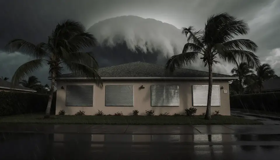
Hurricanes reach Port Isabel through the bay as much as through the Gulf. When Hurricane Beulah made landfall near the mouth of the Rio Grande in September 1967, tides near Port Isabel ran roughly 4.7 to 8 feet above normal, and the town suffered extensive damage. Hurricane Dolly brought another round of extensive damage in July 2008.
Even a tropical storm can do it. During Tropical Storm Alberto in June 2024, the Port Isabel tide gauge peaked at 2.87 feet, a surge of more than 3 feet above the predicted tide. The National Weather Service described water bottled up in the southern Laguna Madre rising high on docks and into unprotected parts of town. Bay water that gets into a building is salty and dirty, and it calls for full flood cleanup: removal of wet drywall and insulation, washing out silt and salt, and thorough drying.
Downpours on Low Ground
Rain causes its own trouble on land this low. On October 1, 2021, Port Isabel recorded just over 4 inches during a storm that flooded hundreds of homes in Brownsville, and Hurricane Hanna dropped about 2.7 inches here in July 2020. When the tide is already high, rainwater has fewer places to drain, and garages, ground-floor rooms and slab homes near the waterfront can take water at the threshold. Check door sweeps, garage seals and the grading around your house, and clear yard drains before storm season.

Seasonal Homes and Leaks Nobody Sees
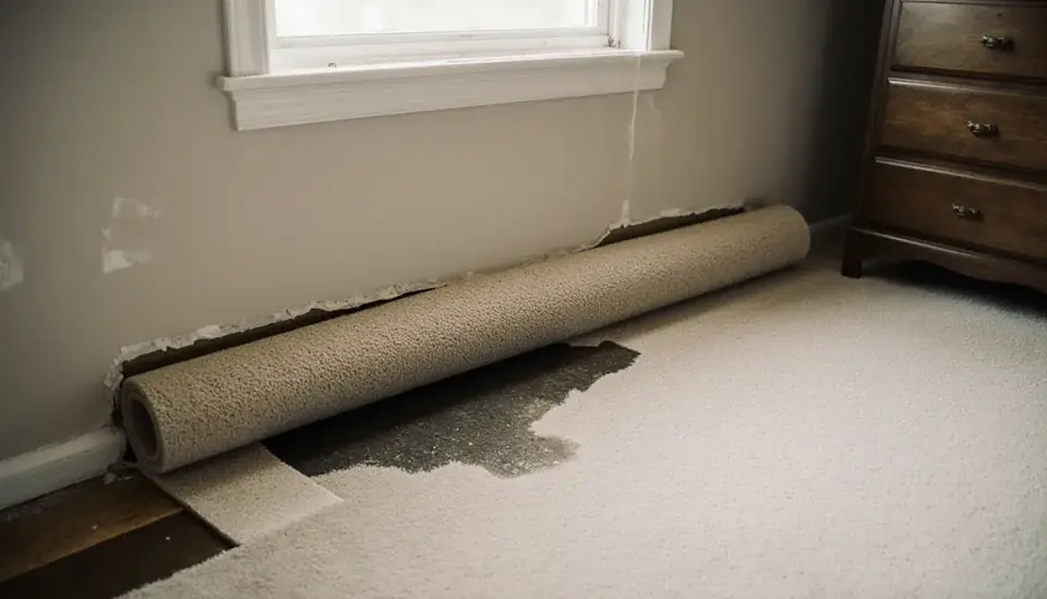
With so many houses and condos empty for weeks at a time, a lot of water damage here is found late. A cracked washing machine hose, a water heater that lets go, or an air-conditioner drain line that clogs in midsummer can run for days before a neighbor or property manager notices. By then, water has spread under flooring and into wall cavities, and mold may already be growing.
- Shut off the main water valve when you leave for more than a few days.
- Keep the air conditioning set to control humidity rather than turning it off.
- Ask someone to walk through after any storm or power outage.
- Install inexpensive leak sensors near water heaters, washers and sinks.
When a leak is found, a provider can measure how far moisture spread and set up structural drying before rebuilding.
Salt Air, Heat and Mold Growth
Port Isabel's air is humid nearly year-round, and summer heat lets fungal growth take hold on damp materials within a day or two. Saltwater residue makes it harder, because salt keeps pulling moisture from the air back into drywall and wood that seemed dry. After surge or bay flooding, washing surfaces before drying is part of preventing regrowth. If you open up a closed seasonal home and smell must, look at the bottom of walls, inside lower cabinets and behind appliances, and consider a mold remediation assessment if growth is more than a small spot.
Coverage, Permits and Evacuation Planning
Water from the bay or from rising rainwater is generally covered only under a flood insurance policy, while wind damage and wind-driven rain fall under wind or homeowners coverage. Owners in low-lying coastal towns often carry both. Before you rebuild after a flood, look up the property on FEMA's Flood Map Service Center and check with the city about permits. Cameron County Emergency Management publishes evacuation zone maps, and Port Isabel residents should know their zone and route over the mainland highways well before a storm is in the forecast.
Port Isabel Neighborhoods and Surrounding Towns
The same line also serves nearby communities such as:
- South Padre Island
- Laguna Heights
- Laguna Vista
- Los Fresnos
- Brownsville
Questions From Port Isabel Property Owners
Can a tropical storm flood Port Isabel, or only hurricanes?
Tropical storms can push water into town too. During Tropical Storm Alberto in June 2024, the Port Isabel tide gauge recorded a surge of more than 3 feet above the predicted tide, and the National Weather Service reported water rising on docks and into unprotected areas. Hurricanes such as Beulah in 1967 brought much higher tides.
I found a leak in my second home after weeks away. What now?
Shut off the water, photograph the damage before moving anything and call your insurance company. Then have a restoration provider check moisture levels in floors, walls and cabinets, because water spreads farther than it looks after several days. In Port Isabel's humidity, assume mold may have started and ask for an inspection of hidden areas.
Who issues storm warnings and evacuation orders for Port Isabel?
The National Weather Service office in Brownsville issues tropical, coastal flood and flash flood warnings for the area. Cameron County Emergency Management coordinates evacuation zones, emergency alerts and recovery information for county residents. Sign up for county alerts and know your evacuation zone at the start of hurricane season.