
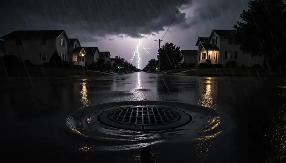
Water makes up about 62 percent of Hampton's total area. The city sits on the tip of the Peninsula, with the Chesapeake Bay along its eastern shore, the Back River and its marshes to the north, the Hampton River running into downtown, and Old Point Comfort guarding the harbor entrance. The average elevation is around 10 feet, and some areas, including much of Langley Air Force Base, sit far lower.
The Restoration Job is a no-cost call-connection service. Call (888) 317-9980 and we'll connect you with an independent provider that handles water damage restoration in Hampton, from Buckroe Beach and Fox Hill to Phoebus and downtown.
How the call works: when you call (888) 317-9980, The Restoration Job connects you with an independent restoration provider that serves Hampton. That provider inspects the damage, explains the scope and quotes the work. The Restoration Job doesn't perform restoration itself. Read our referral disclosure.
Isabel and the 2009 Nor'easter Along the Back River
Hurricane Isabel in September 2003 is the benchmark storm for Hampton. City officials issued the first mandatory evacuation in Virginia on September 17, about 35 hours before landfall. Offshore waves near 20 feet eroded beaches along the western shore of the Bay, and the Buckroe Beach fishing pier was destroyed; the city rebuilt it and reopened it in 2009.
Langley Air Force Base, between the branches of the Back River, shows how serious surge can be on low ground. The base averages about 3 feet above sea level, and storm surge from Isabel caused roughly $147 million in flood damage there. A 2009 nor'easter added about $43 million more. The base has recorded around 14 inches of sea level rise since 1930. The same water that reaches the base reaches nearby residential streets along the marsh.
Fox Hill, Grandview and Buckroe: Living Beside Marsh and Bay
The eastern side of the city is where tidal and wave risk concentrate. Fox Hill lies in the eastern part of the city near the Back River, and Grandview is tied to the rest of the city by marshland on the Bay. Buckroe Beach faces open water. Homes in these areas can take on water from surge, wind-driven tides during nor'easters, and wave splash that drives salt spray and rain into siding and windows.
- Check crawl spaces after any coastal flood advisory, even if the house looked dry.
- Salt water corrodes HVAC equipment, water heaters and electrical components faster than fresh water; have them inspected before restarting.
- Wind-driven rain often enters around windows and doors on the side facing the water, then travels down inside the wall.
Older Homes in Phoebus and Downtown
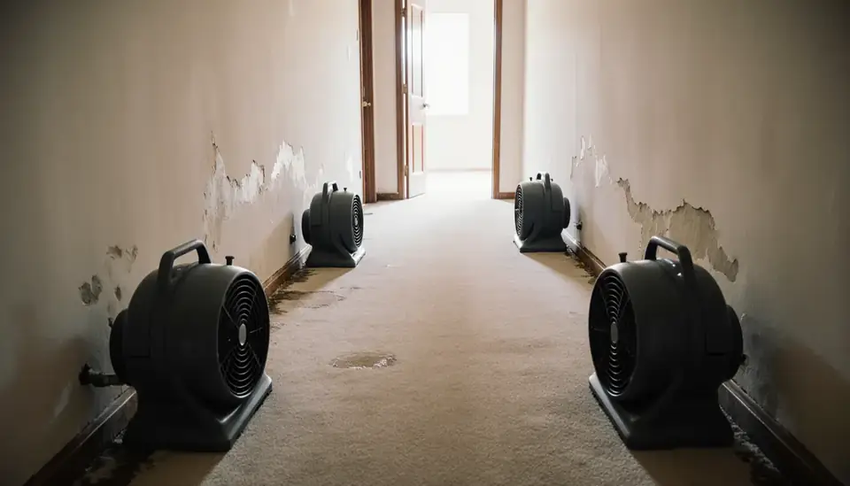
Phoebus, a separate town until the 1952 merger that created the modern city, has a historic district dating to 1874, near Mill Creek and Fort Monroe. Older Hampton houses like these often have plaster walls, original wood floors and plumbing that has been patched over the decades. A slow leak can travel along old framing before showing up as a stain far from the source. When water gets into a historic house, ask the provider to dry plaster and millwork in place where possible instead of defaulting to demolition, and keep photos of original details.
Cleanup Steps After a Coastal Flood
Treat any water that came in from outside as contaminated. Wear boots and gloves, keep children and pets away, and photograph the waterline and every damaged item before removal. Standard practice for flood cleanup includes extracting water, removing soaked drywall and insulation to above the waterline, cleaning and disinfecting, and drying the structure until moisture readings are back to normal. Where only a supply line or water heater failed, prompt water damage restoration can often save cabinets, trim and subflooring.
Humidity and Mold on the Peninsula
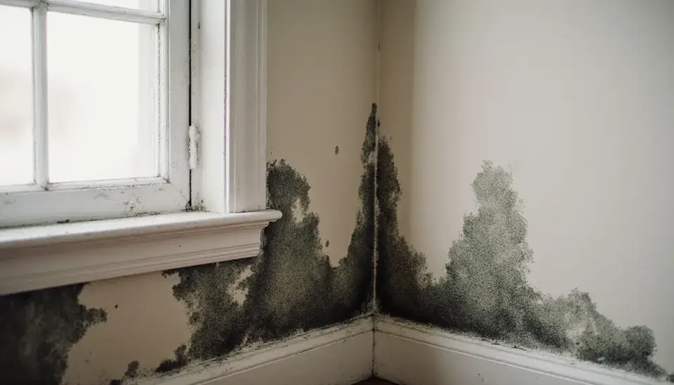
Hampton gets about 47 inches of rain a year, and summers are hot and humid. That combination lets mold take hold on damp drywall, carpet backing and wood within a few days. Watch crawl spaces, under-sink cabinets and closets on exterior walls. Professional mold remediation uses containment and filtered air so spores are not pushed through the rest of the house, which matters most when growth is inside walls or ductwork.
Flood insurance is a separate policy from homeowners coverage and normally has a waiting period. Check your address on FEMA's flood maps, and if you live near the water in neighboring Norfolk or across the harbor, expect the same storms to strain provider availability region-wide.
Neighborhoods and Nearby Communities
Calls come in from across Hampton, including:
- Phoebus
- Fox Hill
- Buckroe Beach
- Grandview
- Downtown
The same line also serves nearby communities such as:
Hampton Water Damage Questions
How bad can storm surge get in Hampton?
Hurricane Isabel in 2003 is the modern example. It destroyed the Buckroe Beach fishing pier and caused about $147 million in flood damage at Langley Air Force Base, which sits roughly 3 feet above sea level beside the Back River. Low-lying neighborhoods near the marshes and Bay shoreline face similar exposure, so know your evacuation route and flood zone.
Do nor'easters cause as much damage as hurricanes here?
They can rival them. A 2009 nor'easter caused about $43 million in damage at Langley alone. Nor'easters last longer than most hurricanes and can flood the same streets over several high tides, giving water more time to soak into crawl spaces, insulation and wall cavities. Damage from that rising water generally requires flood insurance.
What should I check after salt water gets under my house?
Have wet insulation removed, the space pumped out and dried, and any ductwork, water heater or HVAC equipment that was submerged inspected before use, since salt water corrodes metal and electrical parts. Call (888) 317-9980 and we'll connect you with an independent provider in the area.